Best Budget Tanzania Safari Operator – Group Joining Safaris

GO UP

Lemosho Route 8 Days

separator
Price
Scroll down

Lemosho Route 8 Days

per person

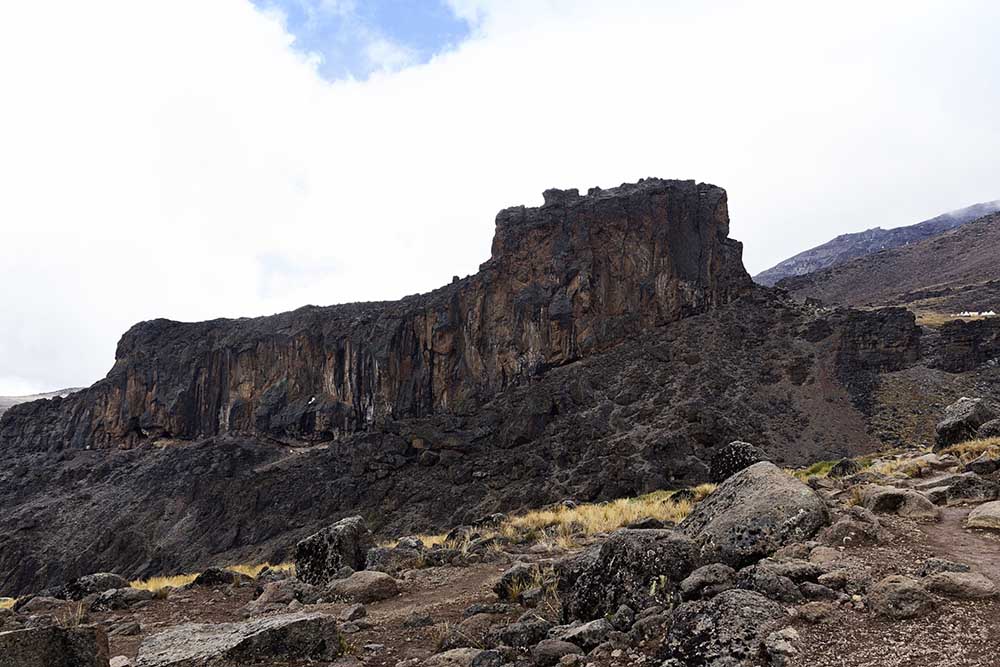
The Lemosho route is considered the most scenic trail on Kilimanjaro, granting panoramic vistas on various sides of the mountain. As one of the newer routes, Lemosho is a superb choice for your climb. It is our preferred route due to its ideal balance of low crowds, beautiful scenery and a high summit success rate. Ultimate Kilimanjaro® specializes in guiding on the Lemosho route. Most of our clients climb Kilimanjaro using this route and they consistently report that they loved it. Thus, Lemosho is highly recommended.

The route approaches Mount Kilimanjaro from the west, beginning with a long drive from Moshi to Londorossi Gate. From there, the first two days are spent trekking through the rain forest to Shira Ridge. The Lemosho route crosses the entire Shira Plateau from west to east in a pleasant, relatively flat hike. Crowds are low until the route joins the Machame route near Lava Tower. Then the route traverses underneath Kilimanjaro’s Southern Ice Field on a path known as the Southern Circuit before summiting from Barafu. Descent is made via the Mweka route.

Included

  • Professional mountain crew (all guides have “Wilderness First Responder” and “Wilderness First Aid” certificates, along with over seven years of experience in climbing)
  • Each participant will be provided with a porter (who can carry up to 15 kilograms of personal baggage)
  • International certificates for a successful ascent
  • Warm and comfortable sleeping pads (two inches thick)
  • First aid kit
  • Group equipment (dining tent, table, chairs, crockery, and cutlery)
  • Kilimanjaro National Park fees
  • Kilimanjaro National Park rescue fees
  • Drinking water(On all days)

Excluded

  • International flights (From/to home)
  • Passport and Visa fees
  • Tips
  • Personal items (Souvenirs, travel insurance, visa fees, etc.)
  • Mountaineering insurance
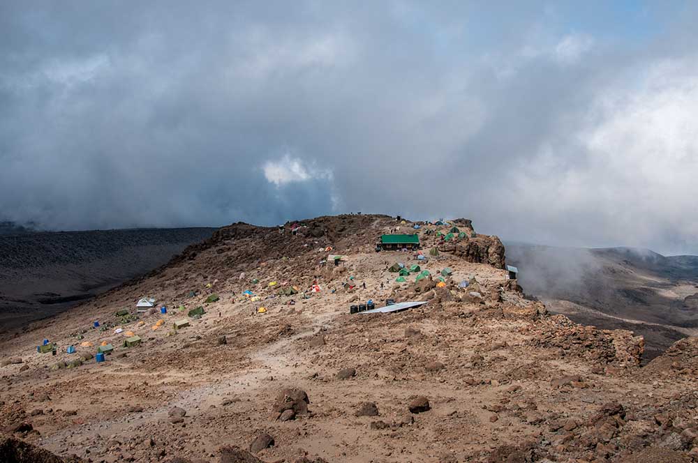
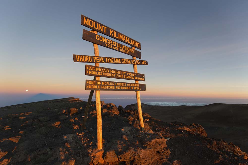
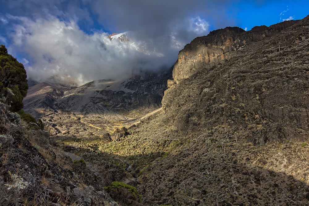
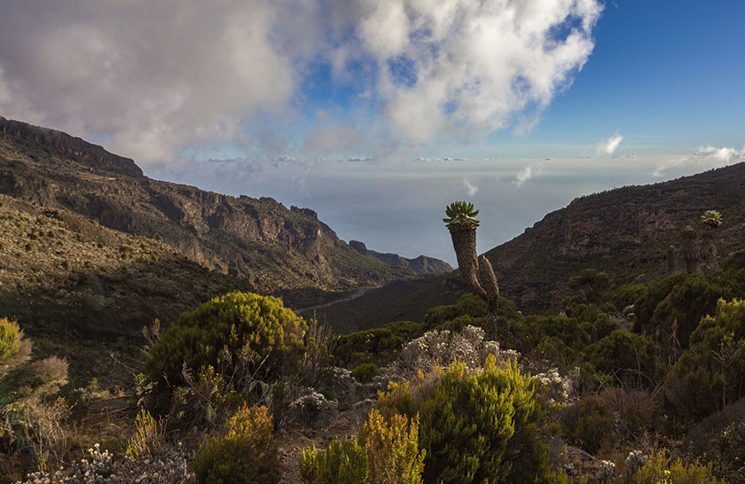
1

DAY 1 LONDOROSSI GATE TO MTI MKUBWA

  • Elevation: 7,742 ft to 9,498 ft
  • Distance: 6 km/4 miles
  • Hiking Time: 3-4 hours
  • Habitat: Rain Forest
We depart Moshi for Londorossi Gate, which takes about 4 hours, where you will complete entry formalities. Then drive to the Lemosho trailhead. Upon arrival at trailhead, we begin hiking through undisturbed forest which winds to the first camp site.

DAY 2 MTI MKUBWA TO SHIRA 1 CAMP

  • Elevation: 9,498 ft to 11,500 ft
  • Distance: 8 km/ 5miles
  • Hiking Time 5-6 hours
  • Habitat: Health
We continue on the trail leading out of the rain forest and into a savannah of tall grasses, heather and volcanic rock draped with lichen beards. As we ascend through the lush rolling hills and cross several streams, we reach the Shira Ridge before dropping gently down to Shira 1 Camp. Here we catch our first glimpse of Kibo across the plateau.

DAY 3 SHIRA 1 CAMP TO MOIR HUT

  • Elevation: 11,500 ft to 13,800 ft
  • Distance: 11 km/ 7 miles
  • Hiking Time: 5-7 hours
  • Habitat: Heath
We explore the Shira Plateau for a full day. It is a gentle walk east on moorland meadows towards Shira 2 Camp. Then we divert from the main trail to Moir Hut, a little used site on the base of Lent Hills. A variety of walks are available on Lent Hills making this an excellent acclimatization opportunity. Shira Plateau is one of the highest plateaus on earth.

DAY 4 MOIR HUT TO LAVA TOWER

  • Elevation: 13,800 ft to 15,190 ft
  • Distance: 7 km/4 miles
  • Hiking Time: 4-5 hours
  • Habitat: Alpine Desert
________________________________________
  • Lava Tower to Barranco Camp
  • Elevation: 15,190 ft to 13,044 ft
  • Distance: 3 km/2 miles
  • Hiking Time: 2-3 hours
  • Habitat: Alpine Desert
We begin the day climbing up a ridge and then head southeast towards the Lava Tower – a 300 ft tall volcanic rock formation. We descend down to Barranco Camp through the strange but beautiful Senecio Forest to an altitude of 13,000 ft. Although you begin and end the day at the same elevation, the time spent at higher altitude is very beneficial for acclimatization.

DAY 5 BARRANCO CAMP TO KARANGA CAMP

  • Elevation: 13,044 ft to 13,106 ft
  • Distance: 5 km/3 miles
  • Hiking Time: 4-5 hours
  • Habitat: Alpine Desert
We begin the day by descending into a ravine to the base of the Great Barranco Wall. Then we climb the non-technical but steep, nearly 900 ft cliff. From the top of the Barranco Wall we cross a series of hills and valleys until we descend sharply into Karanga Valley. One more steep climb up leads us to Karanga Camp. This is a shorter day meant for acclimatization.

DAY 6 KARANGA CAMP TO BARAFU CAMP

  • Elevation: 13,106 ft to 15,331 ft
  • Distance: 4 km/2 miles
  • Hiking Time: 4-5 hours
  • Habitat: Alpine Desert
We leave Karanga and hit the junction which connects with the Mweka Trail. We continue up to the rocky section to Barafu Hut. At this point, you have completed the Southern Circuit, which offers views of the summit from many different angles. Here we make camp, rest and enjoy an early dinner to prepare for the summit day. The two peaks of Mawenzi and Kibo are viewable from this position.

DAY 7 BARAFU CAMP TO UHURU PEAK

  • Elevation: 15,331 ft to 19,341 ft
  • Distance: 5 km/3 miles
  • Hiking Time: 7-8 hours
  • Habitat: Arctic
________________________________________
  • Uhuru Peak to Mweka Camp
  • Elevation: 19,341 ft to 10,065 ft
  • Distance: 12 km/7 miles
  • Hiking Time: 4-6 hours
  • Habitat: Rain Forest
Very early in the morning (around midnight), we begin our push to the summit. This is the most mentally and physically challenging portion of the trek. The wind and cold at this elevation and time of day can be extreme. We ascend in the darkness for several hours while taking frequent, but short, breaks. Near Stella Point (18,900 ft), you will be rewarded with the most magnificent sunrise you are ever likely to see coming over Mawenzi Peak. Finally, we arrive at Uhuru Peak- the highest point on Mount Kilimanjaro and the continent of Africa. From the summit, we now make our descent continuing straight down to the Mweka Hut camp site, stopping at Barafu for lunch. The trail is very rocky and can be quite hard on the knees; trekking poles are helpful. Mweka Camp is situated in the upper forest and mist or rain can be expected in the late afternoon. Later in the evening, we enjoy our last dinner on the mountain and a well-earned sleep.

DAY 8 MWEKA CAMP TO MWEKA GATE

  • Elevation: 10,065 ft to 5,380 ft
  • Distance: 10 km/6 miles
  • Hiking Time: 3-4 hours
  • Habitat: Rain Forest
On our last day, we continue the descent to Mweka Gate and collect the summit certificates. At lower elevations, it can be wet and muddy. From the gate, we continue another hour to Mweka Village. A vehicle will meet us at Mweka Village to drive us back to the hotel in Arusha/Moshi.